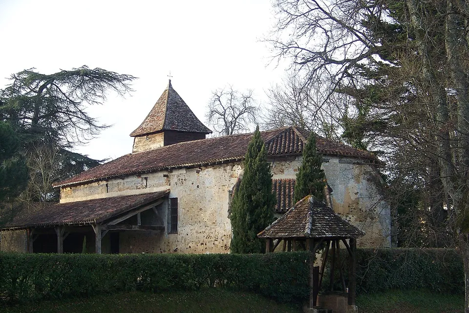
Le Houga
Gers (32), Occitanie, n° 32155
Son nom vient du gascon heugar puis folgar qui signifie « fougeraie ». (Wikipédia, article « Le Houga », CC BY-SA)
- Population
- 1 202 habitants (INSEE)
- Superficie
- 31,9 km²
- Altitude
- 153 m
- Densité
- 38 habitants par km²
- Département
- Gers (32)
- Région
- Occitanie
- Code INSEE
- 32155
- Coordonnées
- 43.7730° N, -0.1836° E
- Plus peuplée que 9 communes sur 10 du Gers.
- Plus de deux fois moins dense que la moyenne de la région Occitanie.
- À 62 km de Auch, la préfecture.